J&K experiences rain and snowfall, further winter weather expected
There were spells of light rains early in the morning and late in the afternoon, drenching plains of the Valley, including summer capital Srinagar
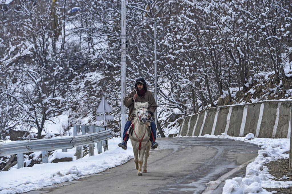
Rains lashed plains of Jammu and Kashmir and light snowfall was recorded in mountainous regions on Friday, temporarily stopping traffic movement on the Srinagar-Jammu national highway due to shooting stones, and bringing down day temperatures in the Himalayan valley.
There were spells of light rains early in the morning and late in the afternoon, drenching plains of the Valley, including summer capital Srinagar. Light snowfall was seen in the hills, including ski resort of Gulmarg in north Kashmir and Doodhpathri in central Kashmir.
Traffic officials said that the traffic movement was stopped for some time around 4pm due to shooting stones at Kishtwari Pather.
“The road was cleared and opened for one way till the usual time of closing at 6pm. Tomorrow, the traffic movement will be normal from Jammu to Srinagar,” said an official of the traffic control room.
The day temperatures plunged in Kashmir valley with summer capital Srinagar recording a maximum of 7.6 degrees Celsius on Friday, some 3.5 notches below normal.
The day was coldest at the ski resort of Gulmarg at 0.8 degrees Celsius, followed by Kupwara in north and Pahalgam in south at 3.6 degrees Celsius and 4.2 degrees Celsius, respectively.
Avalanche warning in 10 districts
In view of the fresh precipitation, J&K disaster management authority issued avalanche warnings for ten districts of the region.
“Avalanche with medium danger level is likely to occur above 2,200 metres above sea level over Bandipora, Ganderbal, Kupwara, Baramulla, Doda, Kishtwar, Poonch, Ramban and Reasi districts in next 24 hours,” the authority said in an advisory.
“People living in these areas are advised to take precautions and avoid venturing in the avalanche prone areas,” it said.
India Meteorological Department’s Srinagar centre director Mukhtar Ahmad cautioned of heavy snowfall in the coming two days.
“There is a forecast of a major wet spell and from early morning there was snowfall in upper reaches and rains in plains. The main activity will be from the night today to March 2 late night,” he said.
He said that besides heavy snowfall in mountainous areas , there are also chances of snowfall in some plains of the Valley and rains in Jammu plains on Saturday.
“Few places may experience heavy to very heavy snow particularly over higher reaches of north Kashmir, central and south Kashmir and Pir Panjal range of Jammu division,” he said.
The plains of Kashmir division may receive moderate rain and snow while plains of Jammu may receive moderate rain with possibility of heavy rain over Ramban, Udhampur and Reasi districts.
“Few places may experience thunder, lightning and hail storms accompanied by gusty winds (30-40 Kmph),” he said.
The weather is likely improve after March 3, with possibility of light rain and snow at scattered places from the night of March 6 to the forenoon of March 7.